IN Brief:
- Fife Council is preparing a planning application for the first section of Dunfermline’s Northern Link Road.
- The scheme includes a bridge over the Fife Circle railway and provision for active travel and buses.
- The road forms part of a phased growth infrastructure programme funded through developer contributions.
Fife Council is preparing to submit a planning application for the first section of the Dunfermline Northern Link Road, moving forward a multi-million-pound transport and active travel project to the north of the city.
The application, expected in August 2026, will cover a section of road between Kingseat Road and Pleasance Road. The route includes a bridge over the Fife Circle railway line to the rear of Halbeath Retail Park, with the council working alongside Network Rail on proposals that would allow the closure of the level crossing on Kingseat Road.
The Northern Link Road is being designed to provide an alternative route for vehicles, while also supporting walking, wheeling, cycling, and bus travel. Fife Council and Network Rail plan to hold a public information event at Kingseat Community Centre on 30 June, with details of the proposed bridge design and level crossing closure.
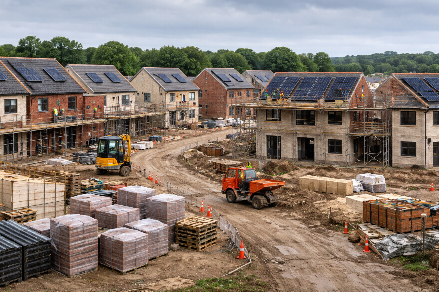
The first section will become an early test of a wider growth infrastructure programme linked to development north of Dunfermline. Some sections of the route are expected to be built by housebuilders within development sites, while others will be delivered directly by the council using developer contributions secured through planning permissions.
Railway interfaces add significant complexity to highways schemes, particularly where new bridges must be designed and built around operational railway assets. Design approvals, possessions, safety rules, clearances, utilities, construction methodology, and future maintenance responsibilities all need close coordination with Network Rail before works can move from concept to delivery.
The proposed closure of the Kingseat Road level crossing also gives the bridge a wider safety and resilience role. Removing level crossings can reduce risk for road users, pedestrians, and rail operations, while grade separation can improve journey reliability and network management as surrounding development increases.
Phasing will shape the programme. Growth-area roads are rarely delivered in one continuous construction package; they are assembled through funding triggers, land agreements, planning conditions, housing delivery, design approvals, and council-led works. That structure can make programme coordination difficult when different developers and public bodies are responsible for different sections of a route.
Developer contributions remain a critical funding mechanism for local infrastructure, but they also create exposure to the housing market. If residential build-out slows, contributions can take longer to arrive and later phases of infrastructure can move out. Councils must manage those funding flows while still planning networks that need to function coherently over the long term.
The inclusion of active travel and bus provision reflects how strategic local roads are now expected to perform. New routes must provide capacity without increasing severance, support healthier movement patterns, and connect into wider walking and cycling networks. That affects junction design, bridge width, drainage, lighting, gradients, surfacing, and maintenance planning.
More than £70m of road improvement projects are expected across Dunfermline over the next two decades. The Northern Link Road’s first section will therefore carry significance beyond its immediate alignment, setting the delivery pattern for how the city’s growth infrastructure is funded, phased, and integrated with rail, housing, and local transport networks.