IN Brief:
- AMS Contracting uses Trimble Siteworks to survey and excavate an attenuation pond at Redhill.
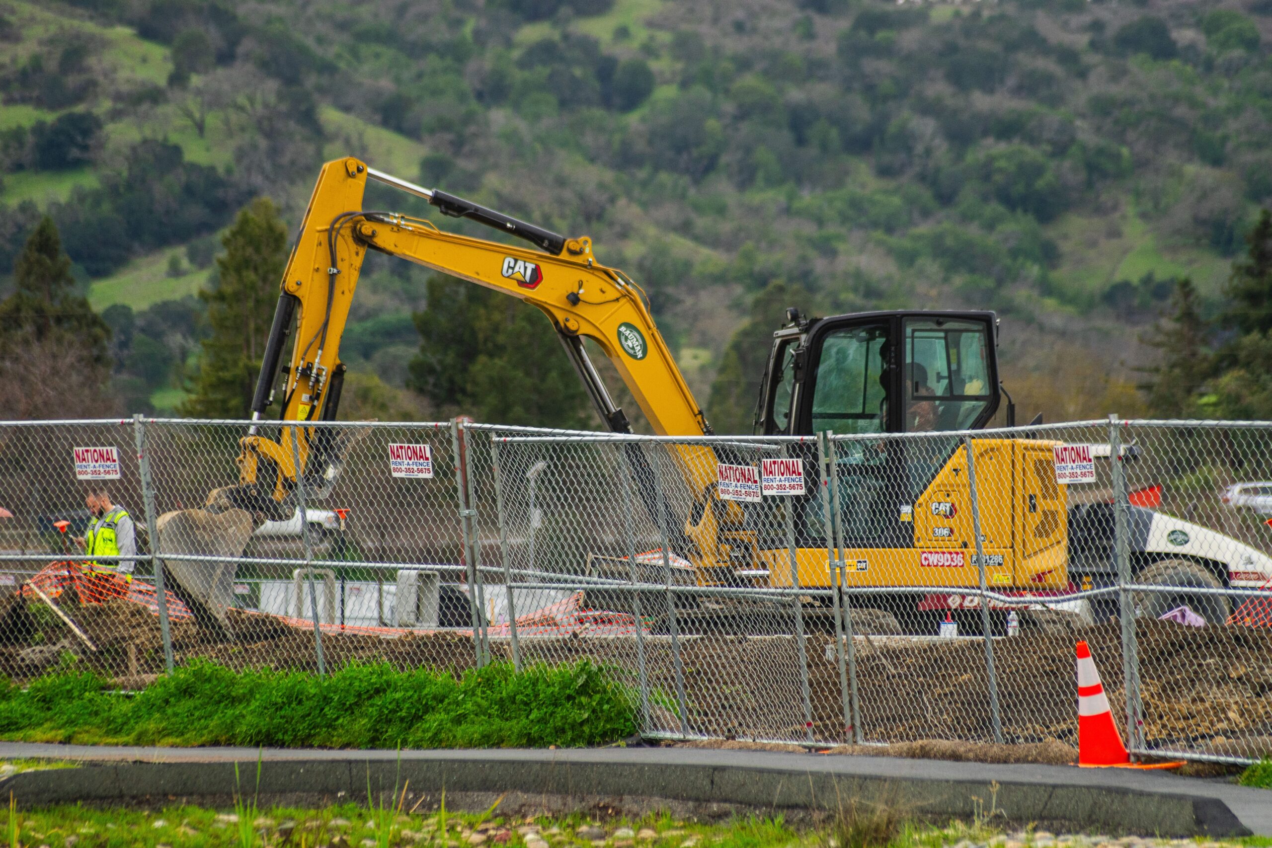
- SITECH equipped a LiuGong 913FCR excavator for guidance using the portable GNSS receiver and field controller.
- SITECH quotes illustrative system prices of £16,500 and £35,000; these are not measured AMS savings.
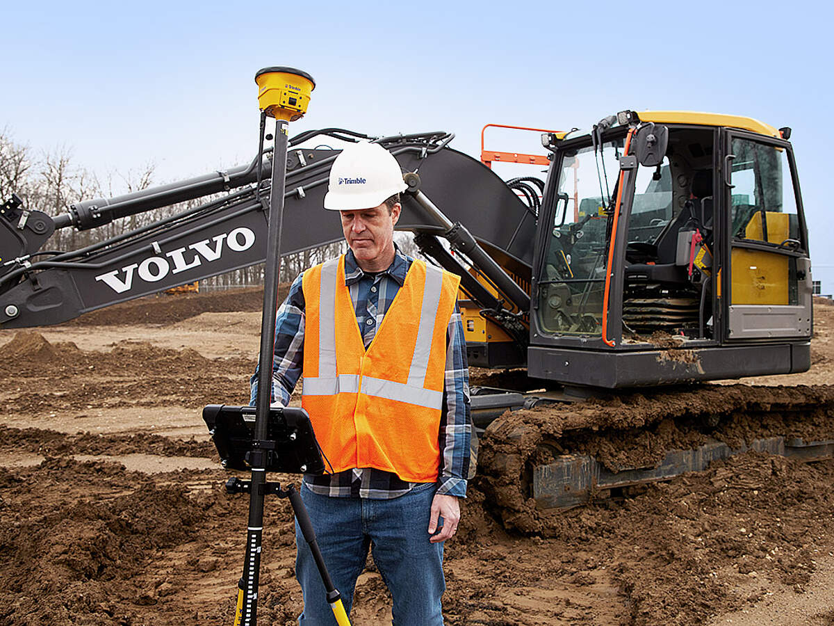
AMS Contracting is using Trimble Siteworks Machine Guidance on earthworks for a sports-pitch attenuation pond at Redhill, combining topographical surveying with excavator positioning through a transferable GNSS receiver and field controller. Supplied and supported by SITECH UK & Ireland, the equipment allows the contractor to record existing ground levels, compare them with the required design and display the excavator bucket’s position against that surface. The reported deployment concerns an operating site workflow rather than a controlled trial demonstrating a quantified productivity gain.
The attenuation pond forms part of works for a sports pitch and is intended to provide space for surface water during periods of increased runoff. Its excavation requires the contractor to compare existing site levels with the design surface, calculate cut and fill, and move material to reach the specified formation. A digital ground model gives the site team a way to view those differences before excavation starts. The published case does not state the pond’s storage volume, design storm standard or final drainage connection, so those details cannot be attributed to the project.
Founded by brothers Ashley and Myles Strange, AMS carries out earthworks, drainage, sports field construction and site clearance. It uses equipment across different jobs, making a system that can move between surveying and machine guidance relevant to its fleet. SITECH installed wiring and machine-mounted equipment on a LiuGong 913FCR excavator, while the handheld GNSS receiver and tablet can be transferred between site surveying and the machine arrangement. SITECH also configured the equipment and provided operator training. That makes the purchase decision different from investing in a permanently installed guidance package on every excavator.
The working sequence begins with measuring the existing ground using a GNSS receiver and field controller. Survey points establish the site surface and can be compared against the intended level of the pond bottom and its slopes. Software can then calculate where material must be removed or added and identify the relative cut-and-fill balance. A contractor can use that information to plan haulage, stockpiling and material reuse, subject to soil quality and suitability. A balance in calculated volumes does not automatically mean all excavated material can be reused without testing or treatment.
Once mounted on the excavator, the guidance system displays the machine’s position relative to the loaded design so the operator can judge how close the bucket is to the target profile. The system is intended to provide centimetre-level guidance, although achievable accuracy depends on GNSS corrections, site conditions, the machine installation and the quality of the digital model. Satellite positioning can be obstructed by structures or tree cover, while an incorrect reference surface or machine geometry would undermine precise results even when the display itself is functioning normally.
AMS previously used two-dimensional laser guidance, which required moving and resetting laser equipment when the work area or target grade changed. A model-based GNSS approach instead references a three-dimensional surface covering the work, potentially reducing repeated manual setup and checking. The two methods serve different purposes and do not imply that laser guidance is unsuitable for simpler level or grade work. The main distinction on the Redhill project is that its excavator and survey workflow refer to a shared digital design rather than separately establishing successive working levels.
SITECH quotes a typical price of approximately £16,500 for the combined portable arrangement and around £35,000 for a comparable fully mounted system. This is a supplier’s indicative comparison, not the price paid by AMS or a verified market-wide saving. Hardware configuration, correction subscriptions, installation, training and support can affect the final cost, while the advantages of portability depend on how often a contractor moves a receiver between machines. AMS has not reported a payback period or audited labour savings from its Redhill work.
The installation included machine configuration, operator training and continuing technical support from SITECH. That work is necessary to translate a general positioning product into reliable day-to-day site use. A guidance display does not itself verify final excavation quality: independent setting out, profile checks, drainage specifications and as-built records still need to match the contract requirements. Such checks matter particularly on attenuation works, where an error in excavated depth or edge levels can reduce the intended storage or leave drainage gradients outside tolerance.
Trimble identifies the Siteworks machine guidance module as a way to carry field designs from surveying into excavator and compact track-loader work. The module requires the relevant machine guidance hardware and can support field design, grade checking and recording of as-built surfaces. A model-led approach can therefore use the same project coordinates during setting out, excavation and subsequent checking, provided the data, calibration and positioning remain sound. The Redhill account does not supply a before-and-after labour study or measured fuel comparison, and the observed advantages should remain attributed to the contractor and supplier.
AMS has used the Redhill installation to establish cut-and-fill quantities and guide excavation to a digital design, replacing some of the repeated laser repositioning required by its earlier two-dimensional arrangement. The reported work demonstrates a practical integration of surveying and guidance on one machine; it does not remove the need for dimensional checks, drainage design verification or safe excavation practices. Site records showing completed levels and actual material movements would provide the measurable evidence needed to compare the new method with the contractor’s previous approach.